Subdivision in Morocco is governed by a rigorous legislative framework designed to regulate urban development and ensure optimum use of land. You're planning to divide your land into several plots, perhaps with the intention of selling part of it or investing in an urban plot to enhance the value of your property and embark on the subdivision adventure. But with such ambitions in mind, a number of questions arise: how does the subdivision process fit into the current Moroccan context, and what legal requirements must be met to bring your project to fruition?
Moroccan legislation clearly defines a subdivision as the division of a property into two or more lots, intended to accommodate buildings with different uses. Far from being a simple formality, this process requires prior administrative authorization. But what steps must be taken to obtain this authorization? What documents do you need to put together your file, and how can you ensure that your project complies with current standards and regulations? This article aims to answer these questions, relying exclusively on legal provisions to guide you step by step through your subdivision project in Morocco in 2024.
Why a subdivision and not a parcelling out?
The distinction between subdivision and parcelling is essential in the context of urban legislation, reflecting different requirements in terms of planning and land use. Subdivision is often favoured by the authorities for a number of strategic and regulatory reasons, while fragmentation may be refused or restricted for reasons relating to the coherence of urban development and resource management.
A subdivision, as defined by law 25-90, is the division of a property into two or more lots for building purposes. These lots can be used for a variety of purposes: residential, industrial, tourist, commercial or artisanal. This legal definition underlines the purpose of subdivisions: to create organized, regulated areas for the development and management of land, meeting specific construction and use needs.
The scope of subdivision goes beyond the simple division of land. It encompasses detailed spatial planning to ensure the harmonious integration of future developments into the existing urban or rural fabric. The subdivision process is strictly regulated by law 25-90, requiring prior administrative authorization. This process guarantees that each subdivision project complies with current urban planning, environmental and social standards.

Subdivision authorization : Starting point!
The creation of a subdivision is subject to prior administrative authorization, an essential prerequisite to ensure that any land division project complies with current urban planning regulations and standards. This legislative measure is crucial to ensure that future developments fit harmoniously into the urban plan and meet sustainability, safety and accessibility requirements.
Prerequisites for subdivision creation :
This authorization is a prerequisite for the sale, lease or division of a property into two or more building lots. It is decisive for the viability of the project, ensuring that the necessary infrastructures, such as access roads, water and electricity networks, and sewage systems, are planned and feasible according to established standards.
Authority responsible for issuing the authorization :
Responsibility for issuing subdivision authorizations lies with the president of the communal council in which the land to be subdivided is located. If the plot of land extends over several communes, the authorization is granted by the Minister of the Interior or, by delegation, by the Wali or governor concerned, after consultation with the presidents of the communal councils involved. This provision ensures consistency and coordination in the management of territorial development, by involving local and national authorities in the approval process for subdivision projects.

Procedure for obtaining a subdivision permit in Morocco
Converting your plot of land into several lots begins with a crucial step: obtaining subdivision authorization. This process is essential to ensure that your subdivision project meets all legal and regulatory requirements, and blends harmoniously into its environment. Here's a step-by-step guide to navigating this complex procedure, with an emphasis on the necessary documents.
The authority empowered to issue authorization
The application for a subdivision permit must be addressed to the competent authority, generally the president of the commune council or, in certain cases, the Minister of the Interior or the wali/governor concerned for land extending over several communes.
Documents required for application
The success of your application depends on the completeness and accuracy of the documents prepared by the team of professionals you work with. Here are the essential elements required:
Topographic plan and specifications
A topographical plan is a precise representation of your property. It must be drawn up to an appropriate scale (1/500 or 1/1000) and include :
- Property boundaries with boundary marker numbers and neighboring land titles.
- Distances between terminals.
- Side points, contours, existing plantations and buildings, if any.
The topographical plan, which forms the basis for the architect's design of the subdivision project, must be drawn up by a land surveyor registered and in good standing with the national order of land surveyors.
Urban design of the development
This document illustrates how your development will fit into its environment. It should include :
- An urban design plan at the appropriate scale, based on the topographical plan.
- The main dimensions of the project, lane alignments and widths, and the planned improvements.
- Locations reserved for public facilities and green spaces.
At this stage, it is imperative to call on the services of a private architect who is regularly registered with the professional association.
Technical documents for infrastructure and networks
These documents detail the design of essential infrastructures:
- Infrastructure design plans (water, sanitation, electricity) at the appropriate scale.
- Water, electricity and street lighting distribution scheme.
- Sewer network layout and connection to existing networks.
During this stage, the use of specialized engineers, in particular a surveyor and topographer registered with the national order of surveyors and topographers, is mandatory for the preparation of technical documents (plans and studies) relating to the construction of roads, sewers, water and electricity networks.

Conditions for the admissibility of a request for subdivision in Morocco
There are a number of essential conditions that must be met before your application for a subdivision permit can be considered. These conditions guarantee that your project complies with standards and is ready for in-depth evaluation by the relevant authorities. Here are the two main admissibility criteria you need to meet.
Land registration requirements
One of the fundamental conditions for the admissibility of your application is the registration of your land. Registration, or proof that the registration process is underway (and that the deadline for filing objections has expired without any objections having been lodged), is proof of the legitimacy of your project. This step is crucial, as it avoids future land disputes and ensures that property rights are clearly established.
Composition of the application file
The composition of your application is equally important. A complete file must include all the required documents, as mentioned above, but it must also respect certain specificities to be considered admissible:
- Certificat de la conservation de la propriété foncière: This document certifies that the land is registered or in the process of being registered. It is essential proof of your right to develop the land.
- Cadastral plan: A cadastral plan issued by the land registry, specifying the exact boundaries of your property, is required.
Criteria for refusing a subdivision permit in Morocco
The process of obtaining subdivision authorization is marked by strict criteria, designed to ensure that each project complies with urban planning, environmental and social standards. However, there are cases where authorization may be refused. Understanding these potential reasons for refusal and the associated exceptions can help you anticipate and rectify any shortcomings in your application.
Potential reasons for refusal
Authorization may be refused for a number of reasons, often linked to the project's non-compliance with legal and regulatory requirements:
Non-connection to essential networks: If the development is not designed to be connected to the road, sewerage, drinking water and electricity networks, this may be grounds for refusal. These infrastructures are essential to guarantee the viability of the development and the well-being of its future residents.
Incomplete or non-compliant documentation: An application for authorization may be rejected if the documentation submitted is incomplete or does not meet the required specifications. This includes the absence of detailed plans, technical documents for infrastructures, or clear specifications.
Non-compliance with development plans: Projects that do not align with existing urban or rural development plans, or that contravene town planning regulations, may be refused permission.
Exceptions and specific conditions
However, exceptions do exist, allowing some projects to proceed despite the absence of certain typically required elements:
Projects with valid justifications: In certain cases, if the subdivision is deemed necessary despite the absence of a connection to certain main networks, authorization may be granted after the administration has given its assent. This may be the case when the execution of certain capital works is not justified by the purpose or particular location of the subdivision.
Specific exemptions: Exemptions may be granted for technical reasons, such as the absence of a corresponding main network, or in situations where the planned infrastructure is unsuitable or impossible to build.

If your land is not covered by a development plan?
Managing land with no specific use, particularly in areas not covered by a zoning or development plan, presents unique challenges. Legislation provides for specific approaches to subdivision authorization in these contexts, to ensure consistent and responsible land use.
Authorization in unzoned areas
The absence of a zoning or development plan does not mean that development is prohibited. However, it does mean that applications for subdivision authorization must be more carefully assessed to ensure that proposed projects are compatible with long-term urban and rural development objectives. Here's how authorization is approached in these cases:
Case-by-case assessment: The authorities examine each application for subdivision authorization individually to determine whether the proposed project is compatible with the de facto vocation of the area concerned. This may include an assessment of environmental impact, accessibility, and the ability of existing infrastructure to support the proposed development.
Conditional authorization: Within the perimeters of urban communes, delimited centers and special-purpose zones, the authorities may either defer ruling on subdivision authorization applications, or grant authorization if the planned subdivision is deemed compatible with the provisions of the existing urban development master plan, or, failing that, if it is compatible with the de facto vocation of the area concerned.
Projects for specific uses: Outside urban perimeters and specifically demarcated areas, subdivision authorization may be granted for developments intended for dispersed housing, tourist activities or agriculture-related activities, provided that each lot has a minimum surface area of one hectare as defined by law. This ensures that development is adapted to the rural environment and does not disturb the ecological or social balance of the area.

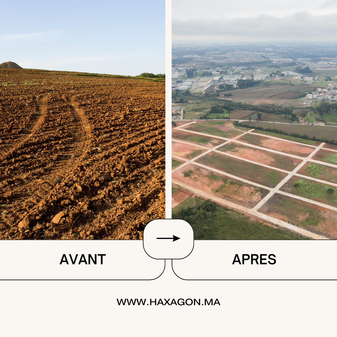
Methods of Division into Sectors (by tranches) and Execution of Subdivision Work in Morocco
The law sets out specific procedures for dividing a subdivision into sectors, a strategy that allows work to be managed and carried out in a more efficient and structured way. This modular approach helps to organize development in phases, making it easier to manage resources and build the necessary infrastructure. In addition, the law lays down clear conditions for the expiry of subdivision authorizations, ensuring that projects progress within a reasonable timeframe.
Division of the allotment into sectors for construction work
An important feature of the authorization process is the possibility of dividing the subdivision into different areas. This division allows the developer to focus efforts and resources on specific areas at different times, which can be crucial to the efficient management of the project, especially for larger developments. This approach also offers the flexibility needed to adapt to market changes and specific development needs, enabling infrastructure and construction work to be carried out progressively.
The authorization issued may specify that the subdivision is divided into sectors, with each sector having a separate implementation plan. This means that planned works, such as the construction of service roads, sewage and water systems, and green spaces, can be undertaken in phases, depending on priorities and the availability of funds.
Conditions under which a subdivision permit lapses
A subdivision permit is subject to a time limit. If the developer has not completed the required works within the allotted time, the authorization lapses. This period is generally set at three years from the date of issue of the authorization or, in certain cases, from the date of expiry of a 3-month period from the submission of the application (silence of the administration).
This measure encourages developers to move ahead diligently with their projects and respect the commitments they made when obtaining authorization. It also ensures that land does not remain unused or await development indefinitely, which could have a negative impact on urban planning and land use.

Why choose a surveyor as coordinator?
When creating a subdivision, it is imperative to appoint a professional such as a surveyor, architect or specialized engineer to oversee the project. According to article 17 of law 25-90, this professional must act as coordinator, responsible for ensuring that the work is carried out correctly.
The importance of creating new land titles with the land registry and the technical specifics of the cadastre, as well as the need for a constant presence on site, mean that the surveyor-topographer engineer is often chosen as coordinator in subdivision projects.
Here are the key tasks of a surveyor in such a project:
- Carrying out a technical and financial study to assess the cost of the work and the profitability of the project, with the aim of enhancing the value of the land.
- Layout of the subdivision site and preparation of a dimensioned plan.
- Assistance in obtaining authorization.
- Technical studies for roads and sewer systems.
- Technical studies for drinking water supply networks.
- Technical studies for electrification and public lighting networks.
- Technical studies for the telephone network.
- Assistance in selecting a works contractor.
- Subdivision calculation and block corner layout.
- Layout and supervision of roadworks and sewerage systems, both on and off site.
- Assistance in obtaining provisional and final acceptance.
- Boundary marking of lots, including vertex marking and intermediate markers, including supply of the post-mounding plan.
- Preparation, filing and follow-up of cadastral technical files for lots.
- Assistance with land registration.

Contact us to turn your subdivision vision into reality. Our team of experts is ready to guide you every step of the way, from planning to lot division, providing the advice and assistance you need to avoid any surprises and ensure the success of your subdivision project. To get started, give us a call, send a WhatsApp message to (+212) 6 60 41 02 18, or contact us by e-mail at [email protected]. Take advantage of our expertise to bring your project to fruition with confidence and peace of mind.
To discover:
Before March 01, 2024 : VAT on personal buildings with a surface area exceeding 300m².
Does your Notary in Casablanca require a Certificate of Location? in 2024
Title Your Melk Land in Morocco in 2023: Follow these 7 Essential Steps!
Land dispute mediation: 7 ways our firm can solve your problems in Morocco
What developers don't want you to know: Hidden defects in Moroccan apartments in 2023
Buying property in Morocco as a foreigner: 5 essential tips for success!
5 Risks of Buying Land in Marrakech: Protect Your Real Estate Interests in 2023
Land consultancy in Morocco in 2023: How an engineering firm can help you manage your land legacy
In 2023: How can an engineering firm help you with your real estate projects in Morocco?
Buying untitled property (Melkia) in Morocco in 2023: what are the risks?
Building in rural Morocco in 2023: New simplification of authorizations!
Building plans and permits in Morocco: Where to find them if lost?
TNB before March 01, 2023: Is my land exempt from the tax?
"4 fatal mistakes to avoid when buying land to invest in Morocco!
Estimate the selling price of my apartment, villa or land in Morocco (6 Questions)
How to divide land in Morocco (Part 1)
Land registry in Morocco: How much does it cost to reconcile (update) the land title?
Development plan: How can I find out the zoning of my plot of land in Morocco? "It's Free!"
How to avoid the risks of 2 fatal building layout errors?
How to split title to land in Morocco (Part 1: Co-ownership)
Laying out a villa: 5 things you need to know!
The surveyor's contract: a necessity for both parties
Merging 2 land titles into a single title?
Topographical engineer fees: how much does a service cost? (3 Questions)
The boundary markers on my property have disappeared (5 most frequently asked questions)